









GEOGRAPHY: Middle East (PDF)
$3.00
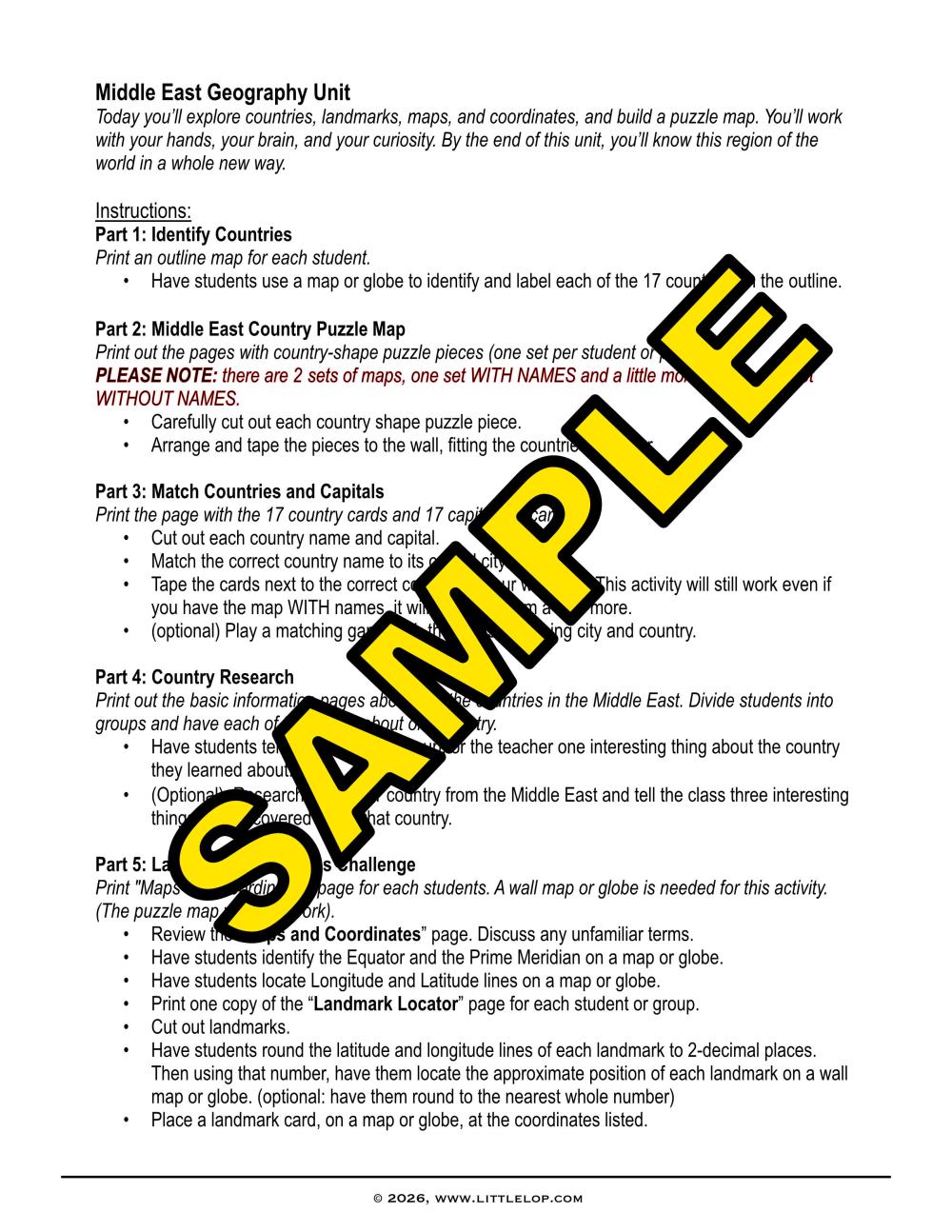
Come dive into the Middle East like never before! All you need is a little curiosity. Included in this PDF:
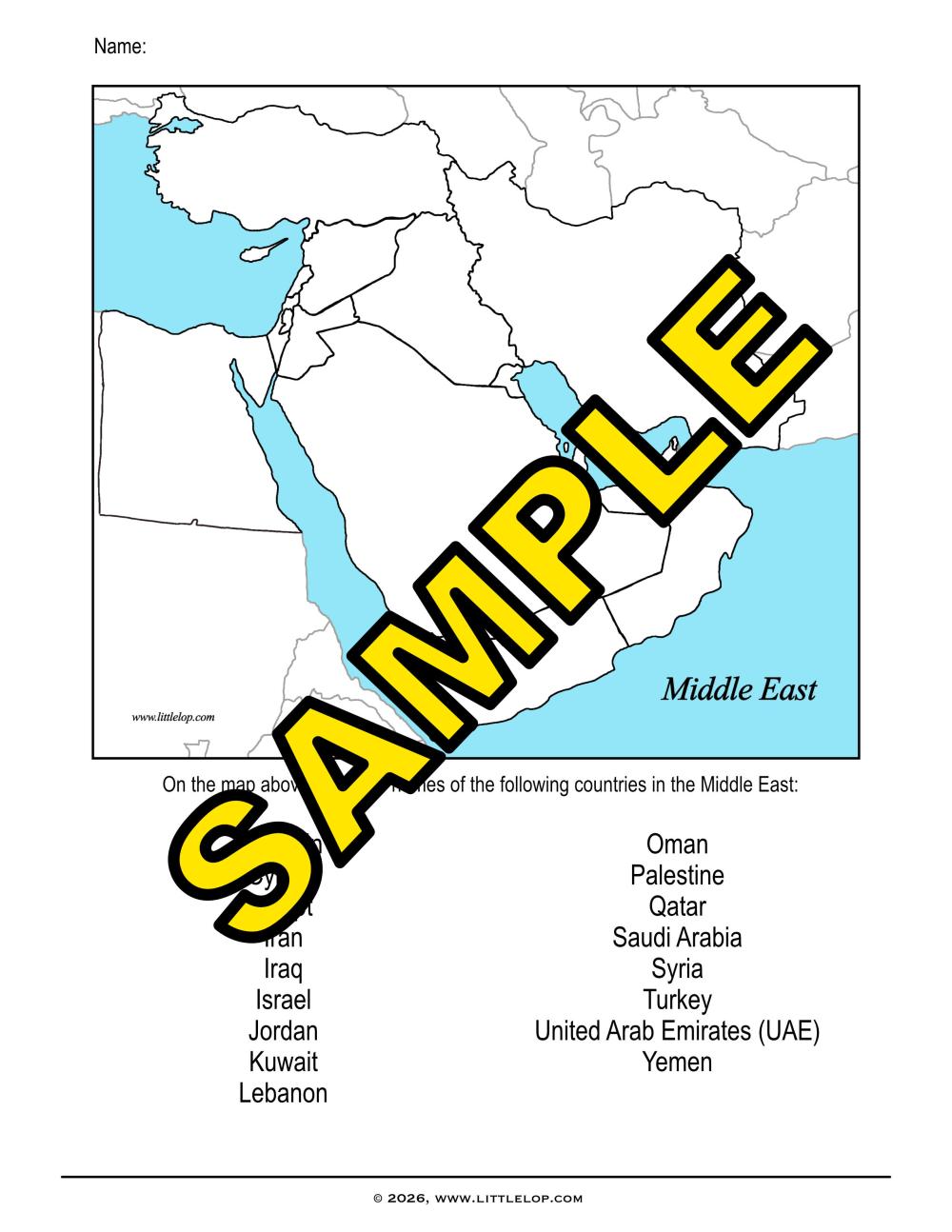
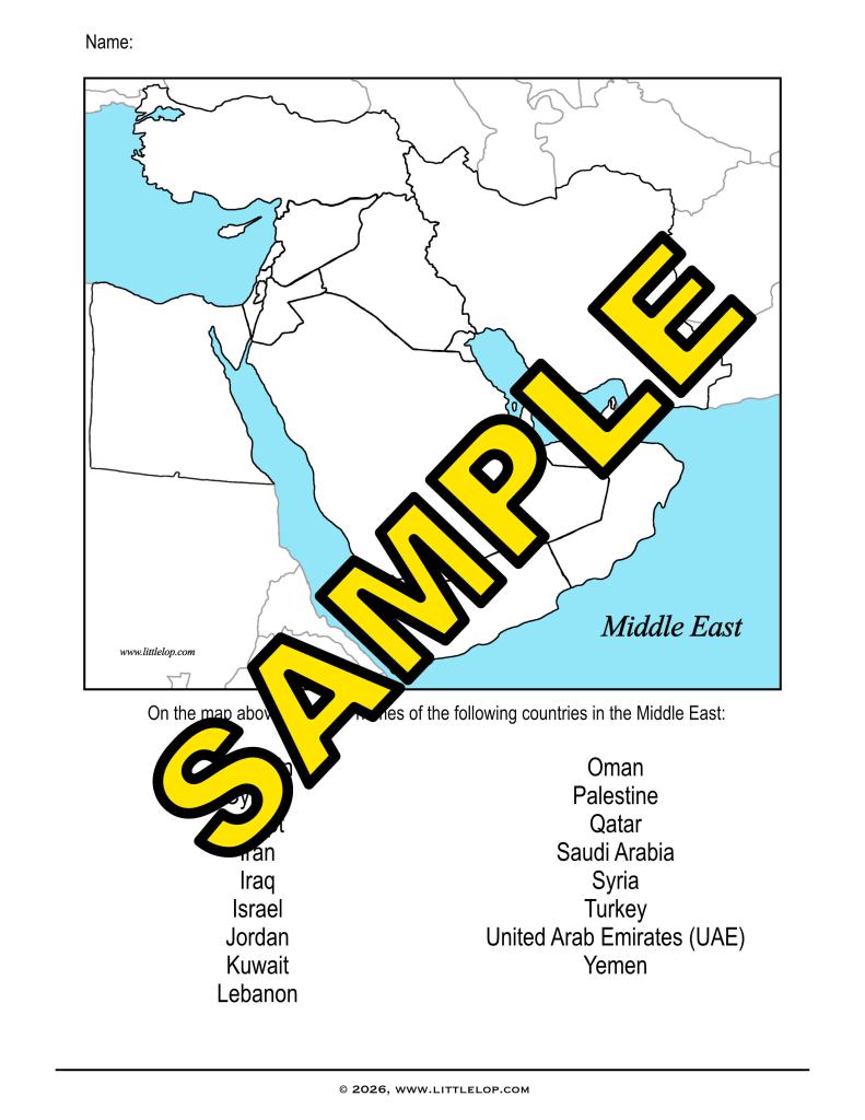
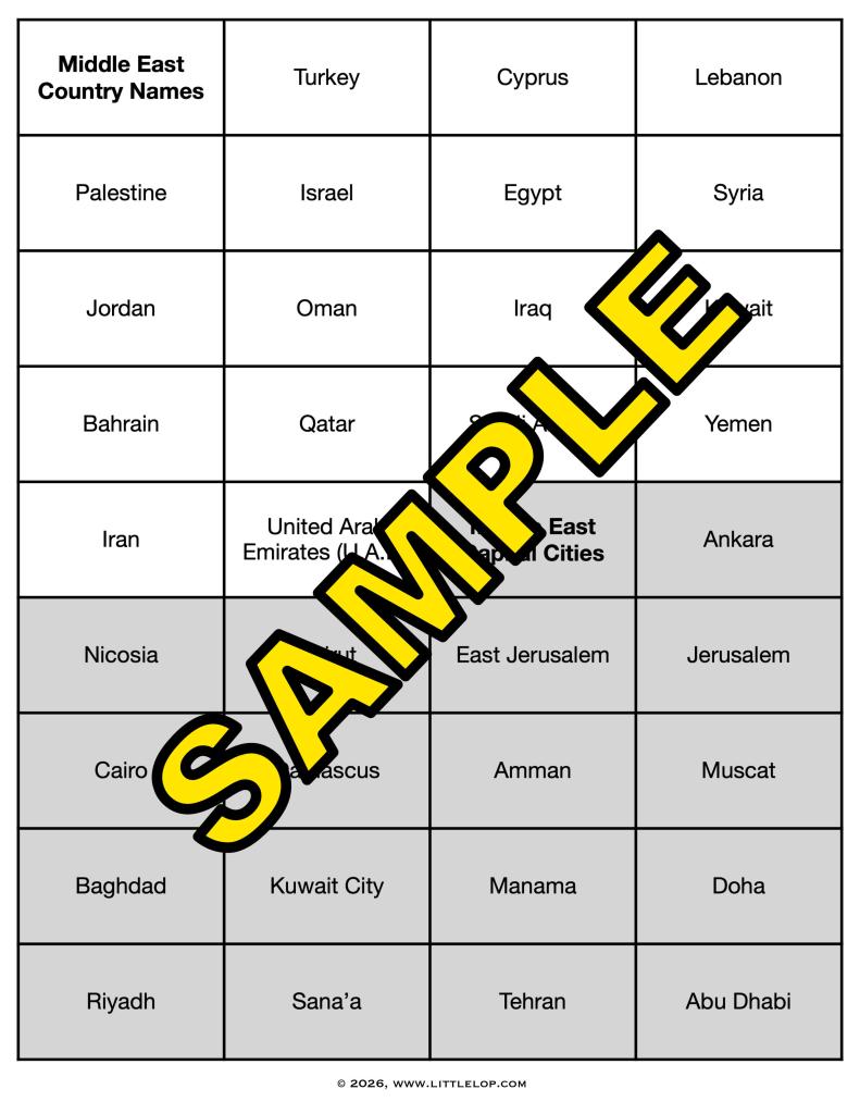
- country worksheet (to identify 17 individual countries in the Middle East)
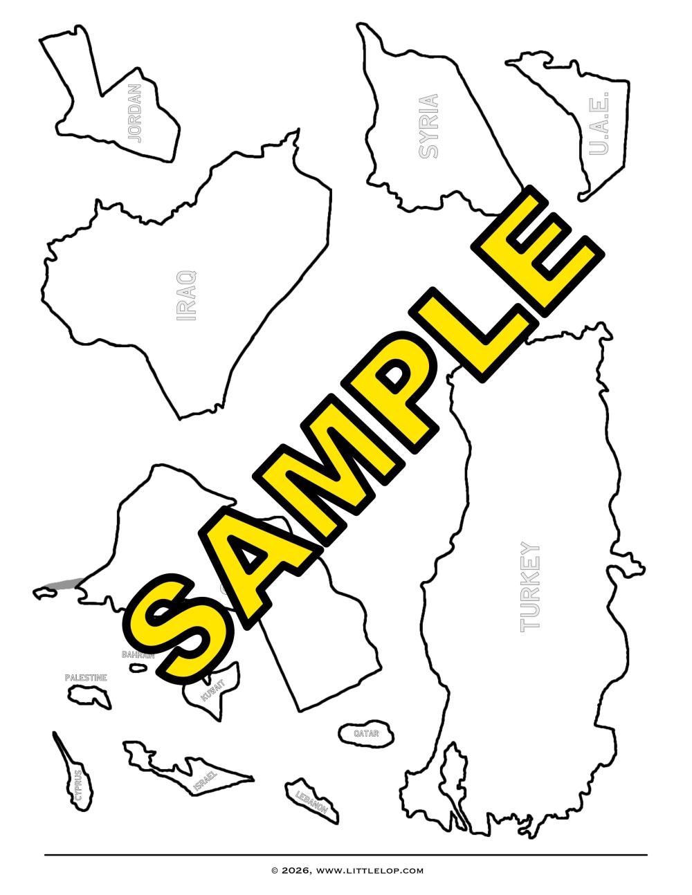
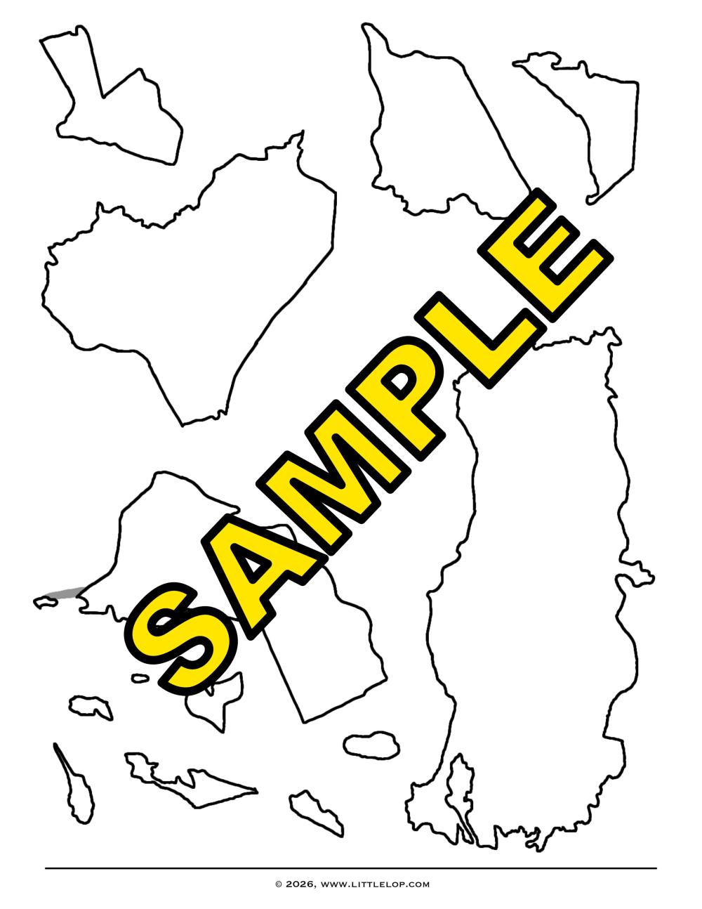
- wall map (students cut out individual countries to create a map on the wall) – puzzle pieces available with names and without names
- country and capital matching
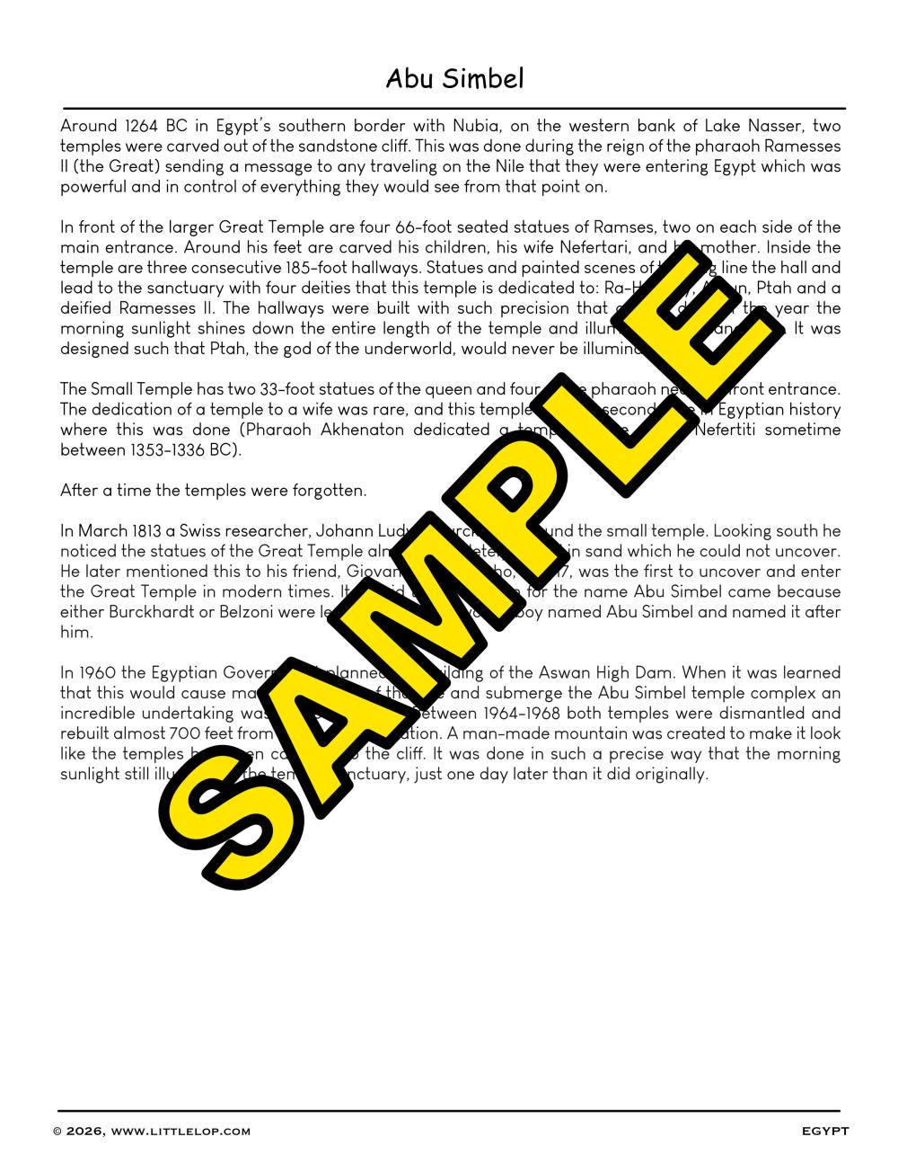
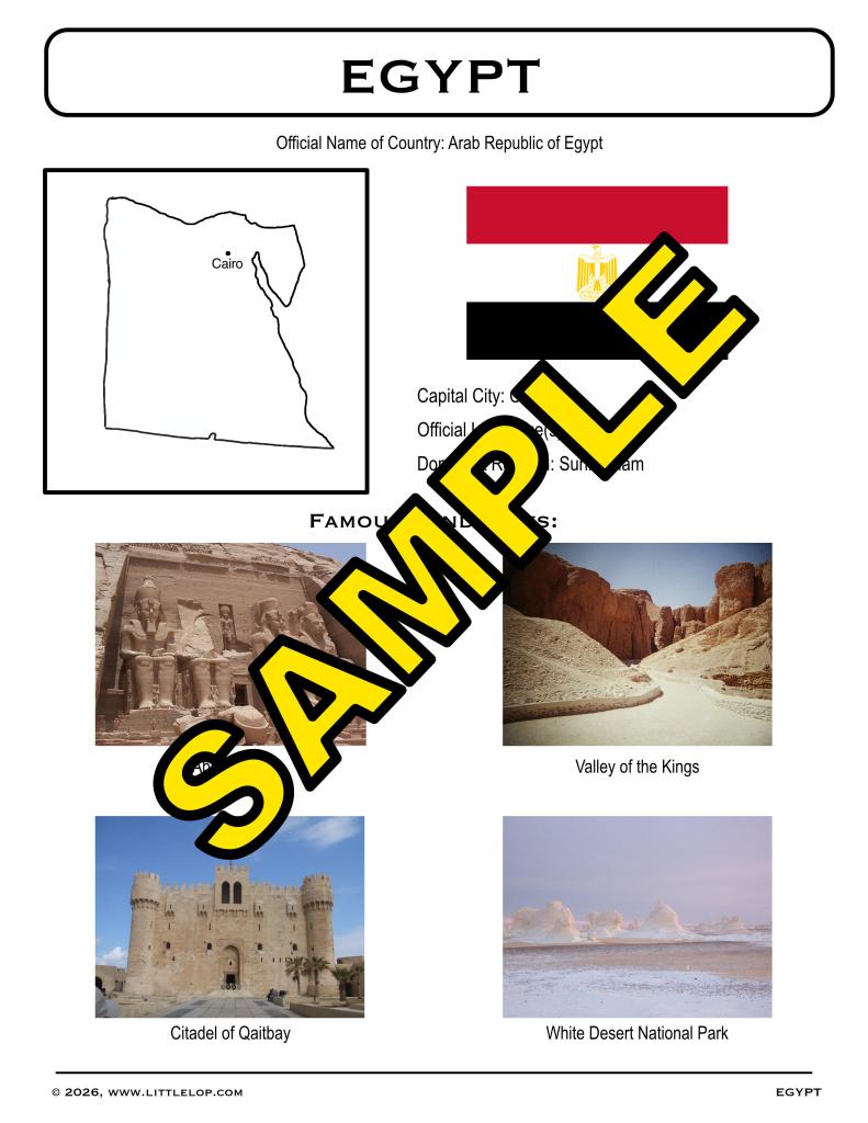
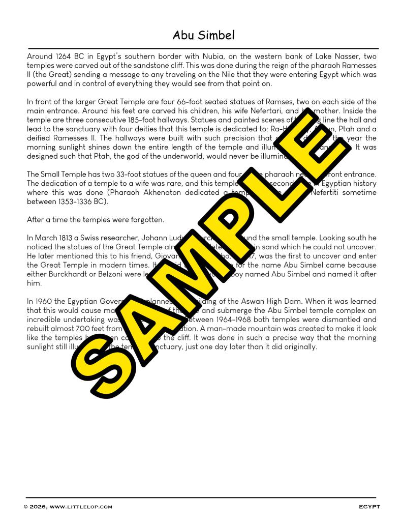
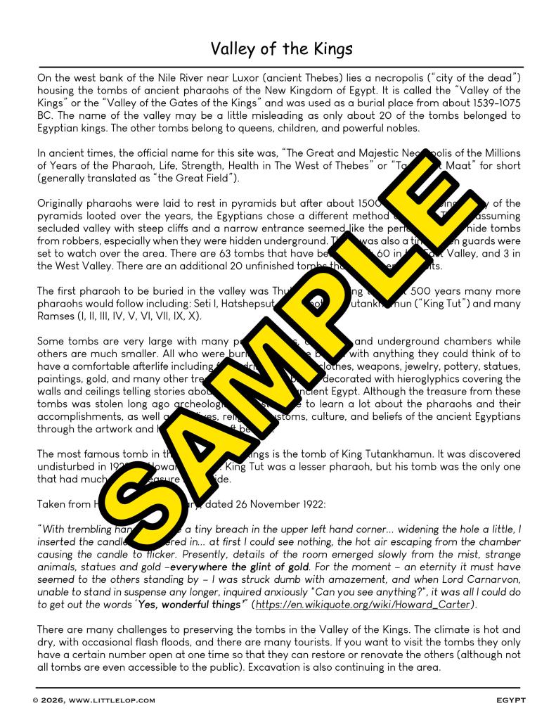
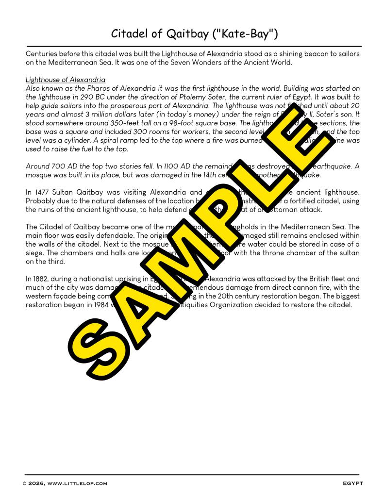
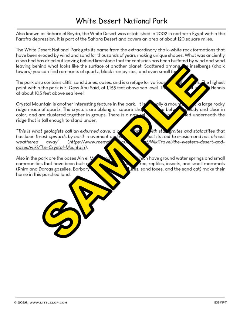
- basic country information and landmarks on select countries (Egypt, Iraq, Israel, Jordan, and Turkey)
- basic “Maps and Coordinates” flashcards (includes latitude, longitude, equator, prime meridian, north/south poles, n/s/e/w hemispheres, and compass rose)
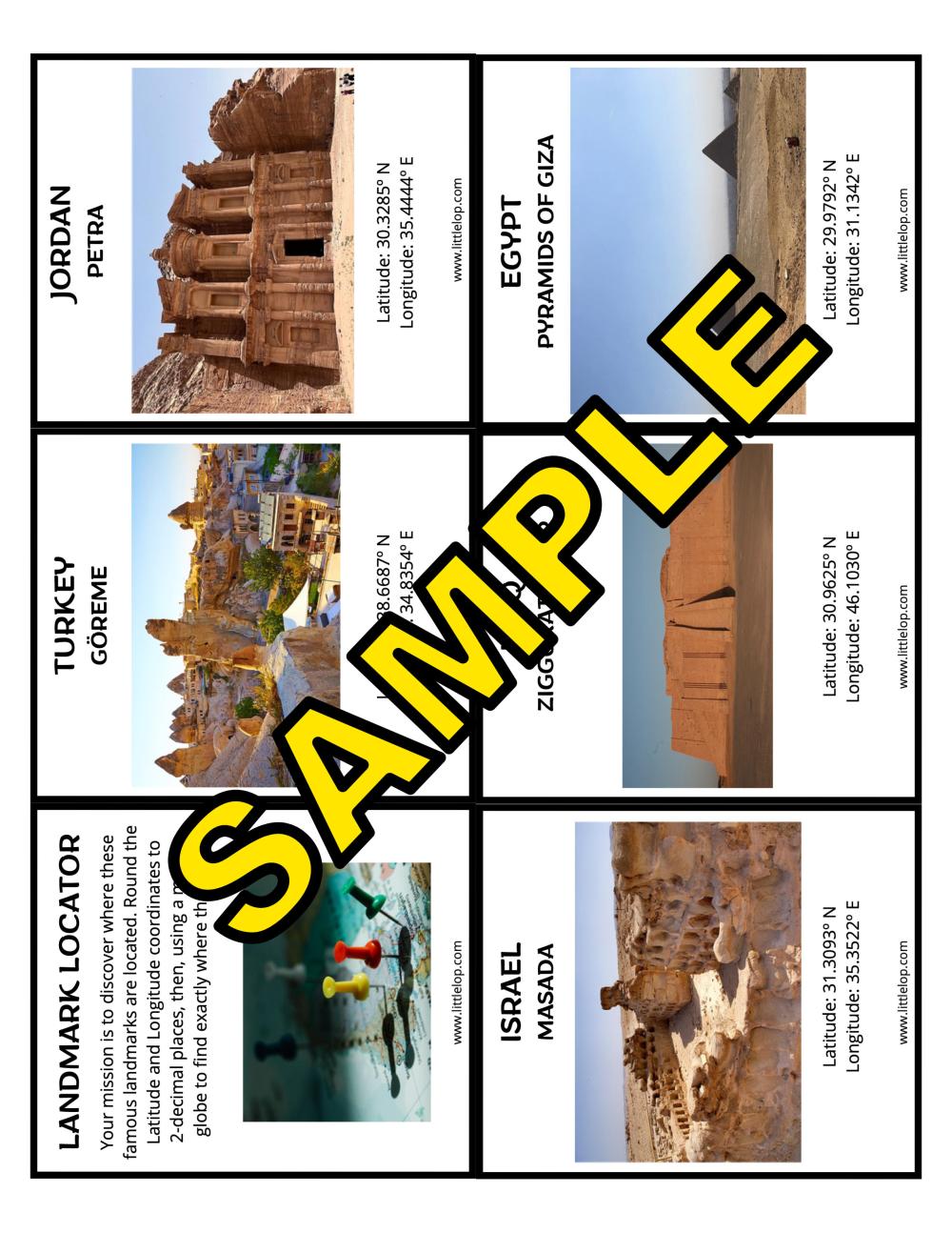
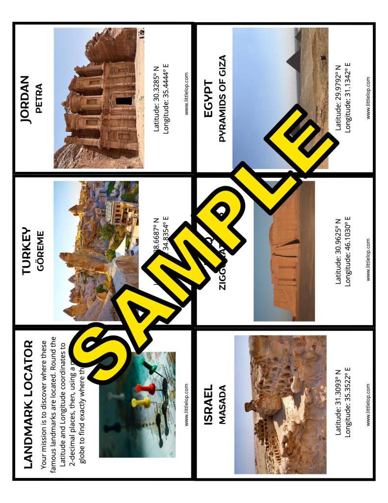
- landmark locator activity where students use actual geographical coordinates to locate landmarks from 11 countries.
Come dive into the Middle East like never before! All you need is a little curiosity. Included in this PDF:
- country worksheet (to identify 17 individual countries in the Middle East)
- wall map (students cut out individual countries to create a map on the wall) – puzzle pieces available with names and without names
- country and capital matching
- basic country information and landmarks on select countries (Egypt, Iraq, Israel, Jordan, and Turkey)
- basic “Maps and Coordinates” flashcards (includes latitude, longitude, equator, prime meridian, north/south poles, n/s/e/w hemispheres, and compass rose)
- landmark locator activity where students use actual geographical coordinates to locate landmarks from 11 countries.
Frequently bought together
-
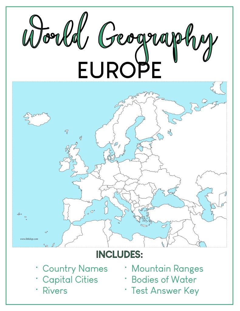
GEOGRAPHY: Europe (PDF)
$3.00